| Address | 26, Musoijeom 2-gil, Wonju-si, Gangwon-do |
|---|---|
| Area | Gangwon |
| Type | Tourist attraction |
| Closed | Subject to abrupt closure due to adverse weather conditions. |
| Phone | • 1330 Korea Travel Hotline: +82-2-1330 (Korean, English, Japanese, Chinese) • For more info: +82-33-740-9900 |
| Website | http://chiak.knps.or.kr |
| Directions | Naver Map Kakao Map Google Maps Google Maps has no turn-by-turn directions in Korea. Why |
Chiaksan Mountain has several peaks reaching x_heights of over 1,000 meters, including Namdaebong, Cheonjibong, Hyangnobong, Sambong, and Birobong Peak, the tallest of the peaks at 1,288 meters. Chiaksan National Park, designated in 1984, encompasses a 182.09 ㎢ area with a 14-kilometer trail connecting the peaks from Birobong Peak in the north to Namdaebong Peak in the south.
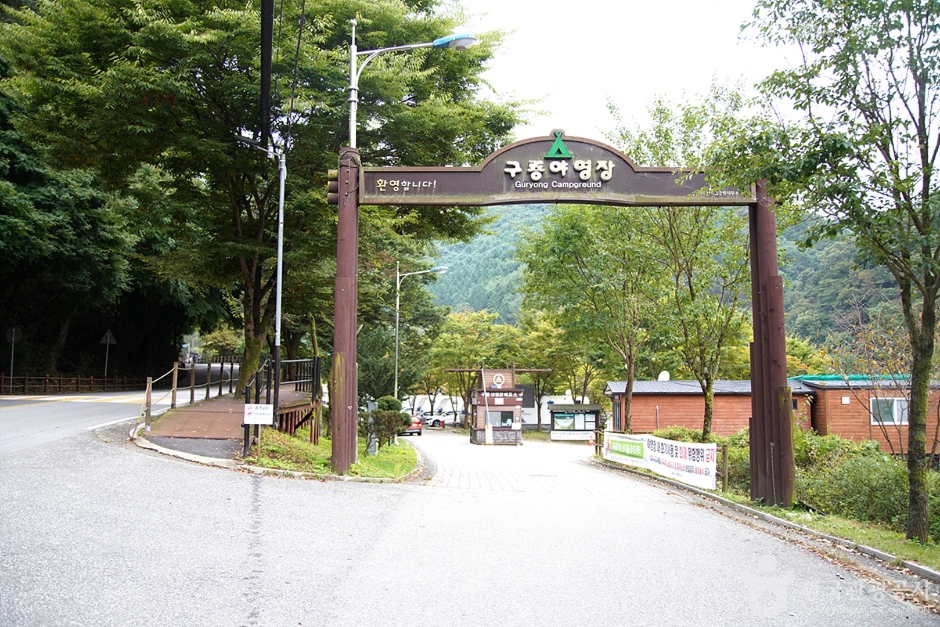
In addition to these soaring peaks, the park also includes many deep valleys, unique rock formations, waterfalls, and tourist attractions. Some of the more popular destinations are Geumdaegyegok Valley, Taejongdae Rock, Seryeompokpo Falls, and Guryongsa Temple. The park draws in hikers all year round, with bright azaleas in spring, lush forests in summer, vibrant foliage in fall, and a white wonderland in winter.
The links below are affiliate links. If you book through them this site earns a commission at no extra cost to you. How this works.
While you are there

Read before you go
Source: Korea Tourism Organization (TourAPI). Listing generated 2026-08-26 16:21 UTC; details can change — check the official page before you go.