| Address | 360 Ibam-ri, Donghae-myeon, Nam-gu, Pohang-si, Gyeongsangbuk-do |
|---|---|
| Area | Gyeongbuk |
| Type | Travel course |
| Price | Free |
| Times | Open 24 hr |
| Closed | N/A (Open all year round) |
| Phone | +82-54-270-3203(포항시) |
| Website | https://www.pohang.go.kr/phtour/wmap/tourInformation/view.do?menu_idx=15&tour_info_idx=223&type=&cate_id=98&representative_views=&recommended_travel=&recommended_travel_yn=®ion=&hygiene_grade=0&vaucher_yn=N&search_type=to/ |
| Directions | Naver Map Kakao Map Google Maps Google Maps has no turn-by-turn directions in Korea. Why |
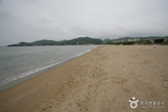
The Homibando Peninsula Coastal Trail is a picturesque trekking route that spans a remarkable 58 kilometers of Pohang's coastline, stretching from Donghae-myeon to Janggi-myeon via Guryongpo-eup and Homigot Cape. This easternmost section of the Korean Peninsula offers an opportunity to marvel at rugged cliffs and savor the soothing sounds of crashing waves as you stroll along the shoreline.
The trail is divided into four distinct courses, with the third course, known as Guryongso-gil, being the lengthiest, taking approximately two hours to complete. It begins at Janggun Rock, winding its way through the Golden Rain Tree and Black Jetbead colonies, ultimately concluding at Guryongso. On the other hand, the fourth course, Homi-gil, is the shortest and starts at Eagle Rock, concluding at the picturesque Homigot Sunrise Square.
The links below are affiliate links. If you book through them this site earns a commission at no extra cost to you. How this works.
While you are there

Read before you go
Source: Korea Tourism Organization (TourAPI). Listing generated 2026-08-26 16:21 UTC; details can change — check the official page before you go.