
| Address | Yongho-dong, Nam-gu, Busan |
|---|---|
| Area | Busan |
| Type | Travel course |
| Times | Open all year round |
| Closed | N/A (Open 24 hr) |
| Phone | +82-51-607-4824 |
| Website | https://www.visitbusan.net |
| Directions | Naver Map Kakao Map Google Maps Google Maps has no turn-by-turn directions in Korea. Why |
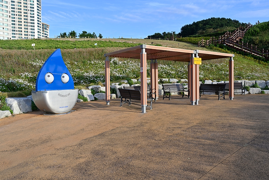
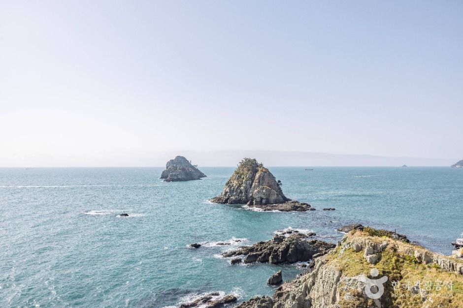
The Namparang Trail, meaning “a path along the blue southern sea,” is a long-distance coastal trail consisting of 90 courses that stretch from Oryukdo Sunrise Park in Busan to the southernmost village of Haenam in Jeollanam-do. The trail offers a unique opportunity to experience a wide range of landscapes, including scenic coastlines, urban waterfronts, and the tranquil atmosphere of rural farming and fishing villages.
In Busan, Course 1 begins at Oryukdo Sunrise Park and continues to Choryang’s Shanghai Street. Course 2 passes through Yeongdo, while Course 3 connects Songdo Beach, Songdo Coastal Walkway, and Amnam Park. Course 4 starts at Dadaepo Beach, known for its wide sandy shore, and ends at Morundae at the far end of the beach. Course 5 begins at Eulsukdo Island, a well-known ecological site where visitors can observe diverse birdlife and natural habitats.
The links below are affiliate links. If you book through them this site earns a commission at no extra cost to you. How this works.
While you are there

Read before you go
Source: Korea Tourism Organization (TourAPI). Listing generated 2026-08-26 16:21 UTC; details can change — check the official page before you go.